Investigating Vegetation Structure and Diversity in Texas and Oklahoma with Earth Observations to Aid Grassland Bird Conservation
2025, NASA DEVELOP
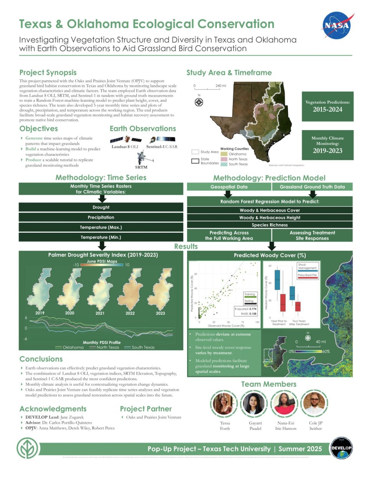
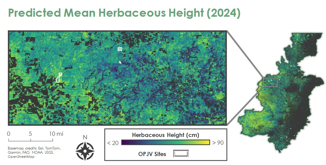
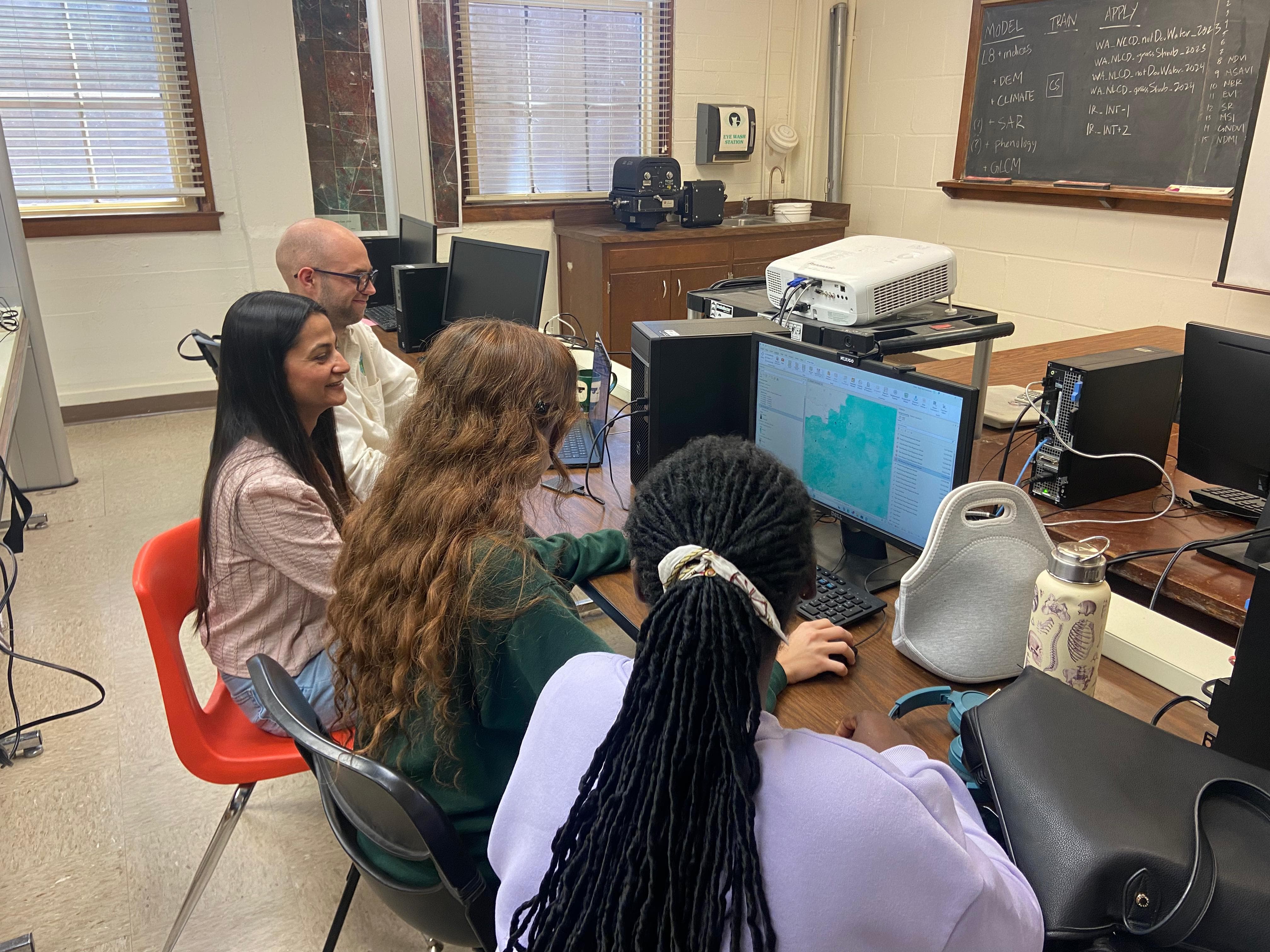
Coordinated with a team of 4 to map and model grasslands and climatic stressors across 60 million acres over 11 years in Texas and Oklahoma, supporting regional bird habitat restoration. Produced a Random Forest regression model in ArcGIS Pro to predict ground-truth vegetation measurements across the continuous landscape and led a 5-year monthly time series analysis of precipitation, temperature, and drought. Workflows included geoprocessing, data cleaning, layout/graph/package development, and automating spatiotemporally expansive imagery access.
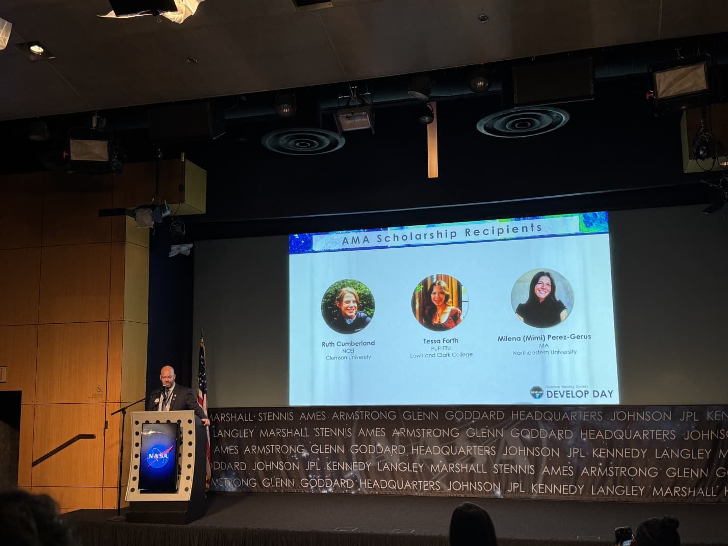
Additionally equipped partners with end-user tools and tutorials to replicate and rescale remote-sensing methodologies. Resulting deliverables included a technical manuscript, oral presentation, and poster. Took leadership over partner organization correspondence, cartographic visualization, and database management, leading to recognition through the nation-wide program's AMA scholarship.
- ArcGIS Pro
- Data Cleaning (Merge Polygons, Edit Vertices, Calculate Field, Joins & Relates, Definition Query, etc.)
- Layout Creation
- Train Random Trees Regression Model; Predict Using Regression Model
- Make Multidimensional Raster Layer
- Zonal Statistics/Zonal Statistics as Table
- Band Arithmetic
- Surface Analyst: Surface/Slope/Aspect/Hillshade
- Mosaic to New Raster
- Project/Merge/Copy/Clip
- Feature to Point
- Google Earth Engine
- Javascript
- Excel
- USGS Earth Explorer, NetCDF Subset, OpenDAAC
- Landsat 8 OLI
- Endeavor Shuttle Radar Topography Mission
- Sentinel-1 C-SAR
- TerraClim Climatology Lab
- Multidimensional Raster Layers (NetCDF, Cloud Raster Format)
- GeoTIFF
- Tabular Data (.csv)
- Shapefiles