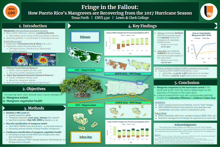
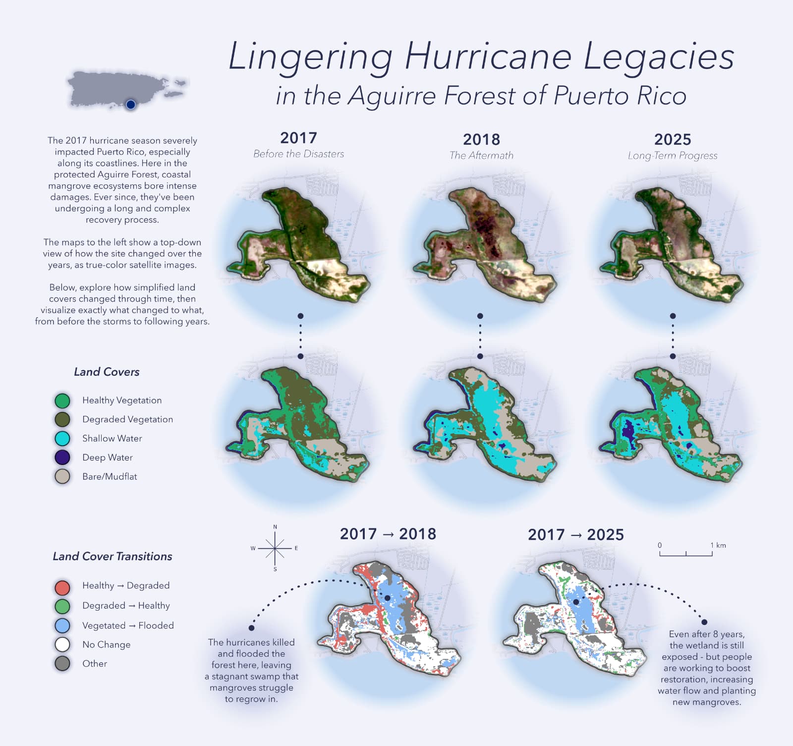
Fringe in the Fallout: Monitoring Nine Years of Hurricane Responses in Puerto Rican Mangrove Reserves
2026, Lewis & Clark College
Evironment Studies Honors Capstone & Independent Research (Land Lab)
Self-led, faculty-supervised remote sensing study comparing how Puerto Rican mangrove ecosystems handled the fallout of the intense 2017 Hurricanes Irma and Maria. Quantifying annual changes in land/seascape integrity and vegetation condition to explore resilience through two time scales: short-term resistance to damage and long-term regeneration.
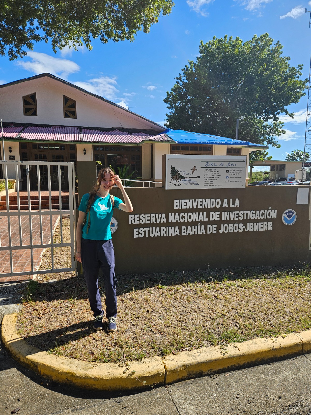
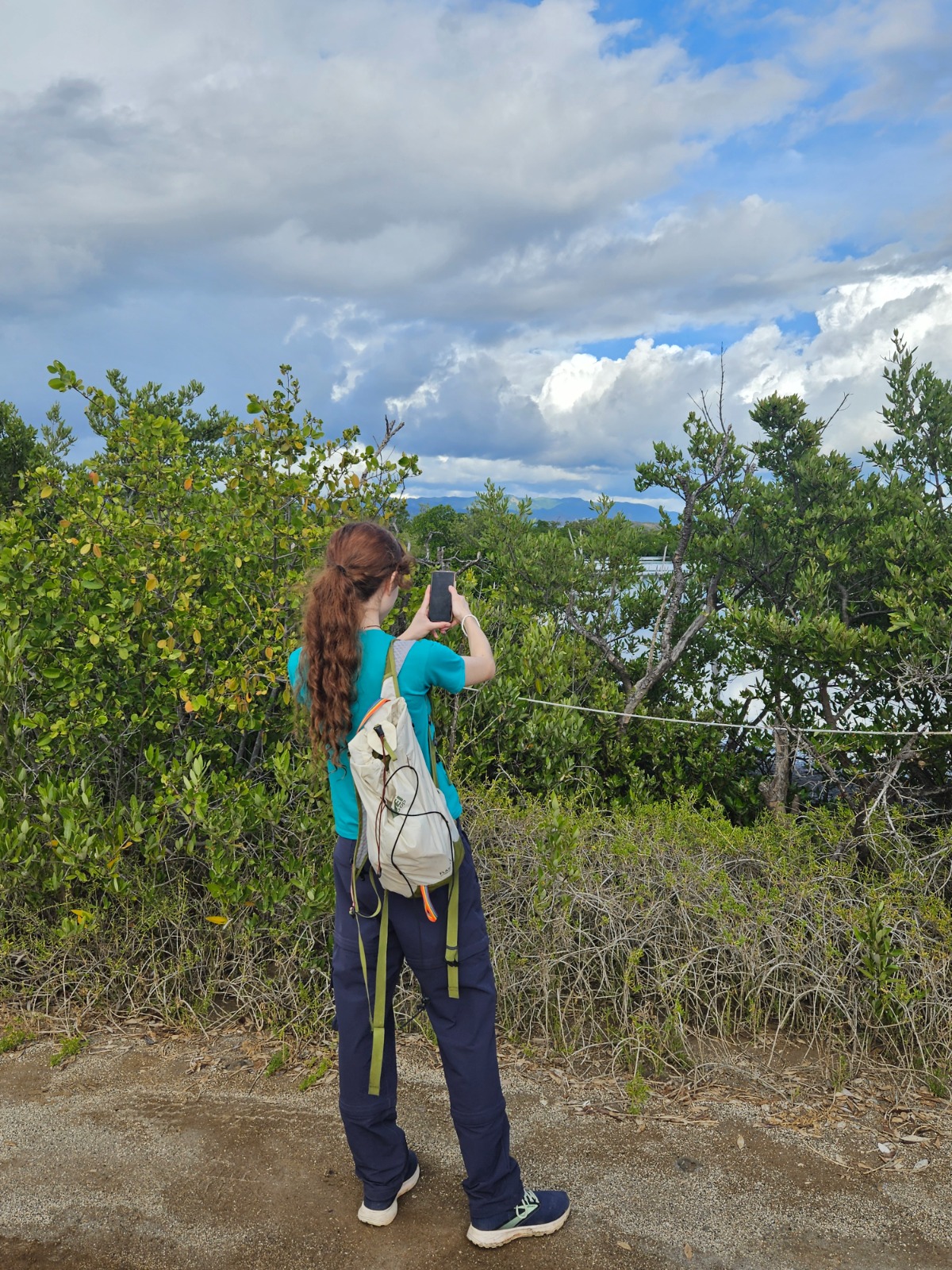
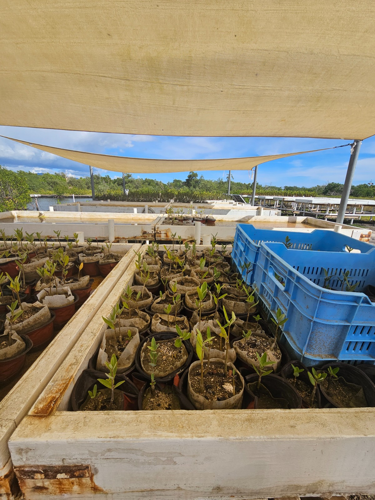
I also received a grant from Lewis & Clark's Student Academic Affairs Board to travel to Puerto Rico and conduct ground-truthing fieldwork within the study sites. These observations helped validate the remote sensing analysis and allowed direct engagement with reserve managers.
Ultimately, this project has become a comprehensive written capstone exploring the data and how it relates to broader discussions of how we approach and nurture Nature-based Solutions. I also built an ArcGIS Experience webpage and multilingually-accessible Story Maps to interactively share the results and resources.
- Google Earth Engine (Javascript)
- Image classification: K-Means Clustering
- Spectral index calculation
- Image differencing for change assessment
- ArcGIS Pro
- Designing scientific map figures
- Image post-processing
- ArcGIS Field Maps
- Building an interface for recording in-situ ecosystem observations and photos
- ArcGIS Online, Experience Builder, Story Maps
- Geospatial data sharing
- Multitemporal map visualization
- Automating pop-ups for ground-truth points
- MS Excel, Google Sheets
- Graphical data visualization
- Accuracy assessment: Confusion matrices
- Sentinel-2 MSI
- Sentinel-1 C-SAR
- Endeavor Shuttle Radar Topography Mission
 |
 |
 |